Use case · 2021 · Finland
Re-Centre Jyväskylä
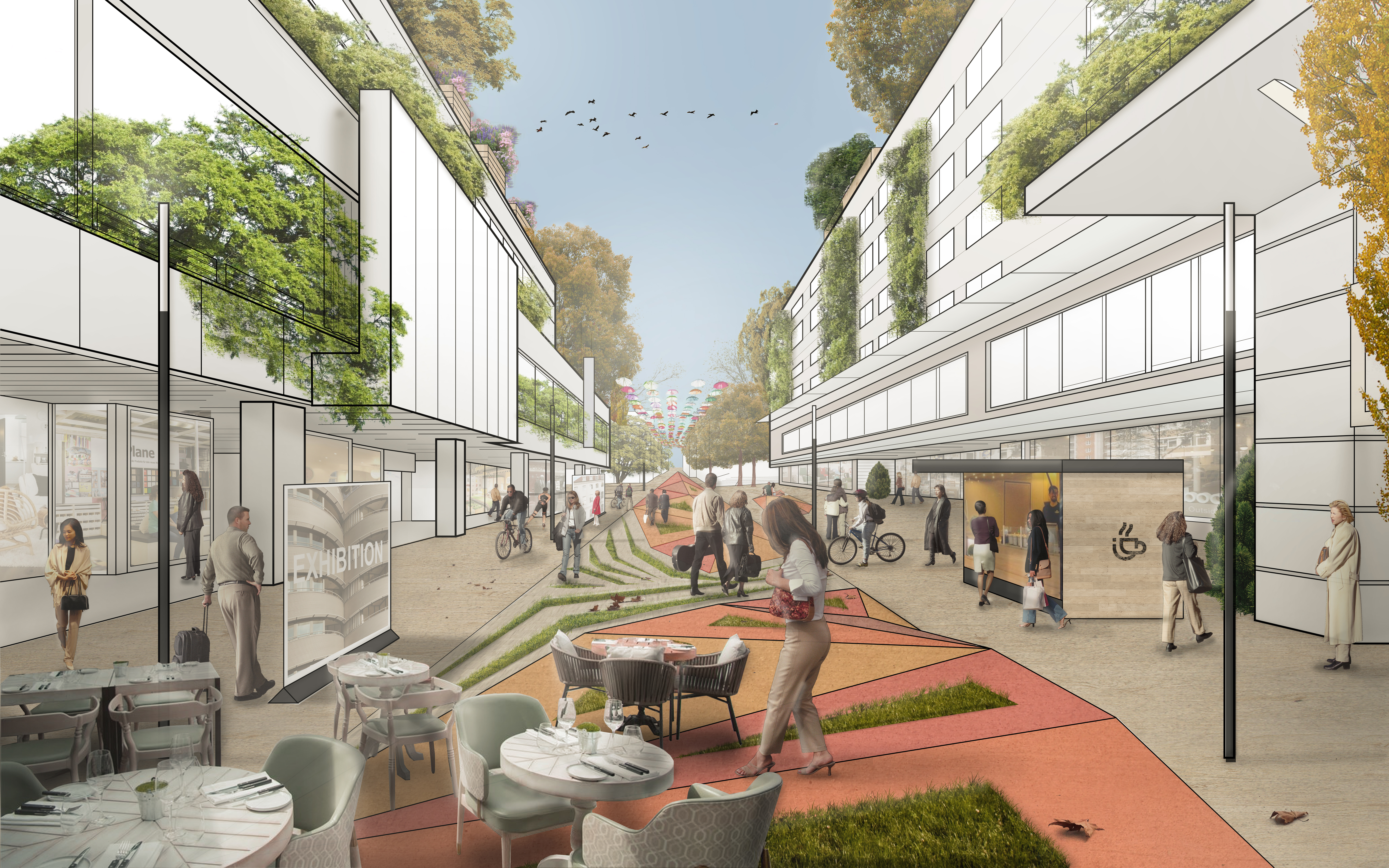
Kauppakatu, pedestrianised in 1995, was in decline. 12 expert interviews and a two-day community charrette on 26–27 October 2021 combined data-driven spatial analysis with the first documented use of sketch-to-image AI: participants’ line drawings of the street were turned into photorealistic scenarios on the spot. The work produced a renewal programme, a manifesto and a shared vision timeline, and constituted a standing high-street community, the Kauppakatuyhteisö.

Map data © OpenStreetMap contributors
Who took part
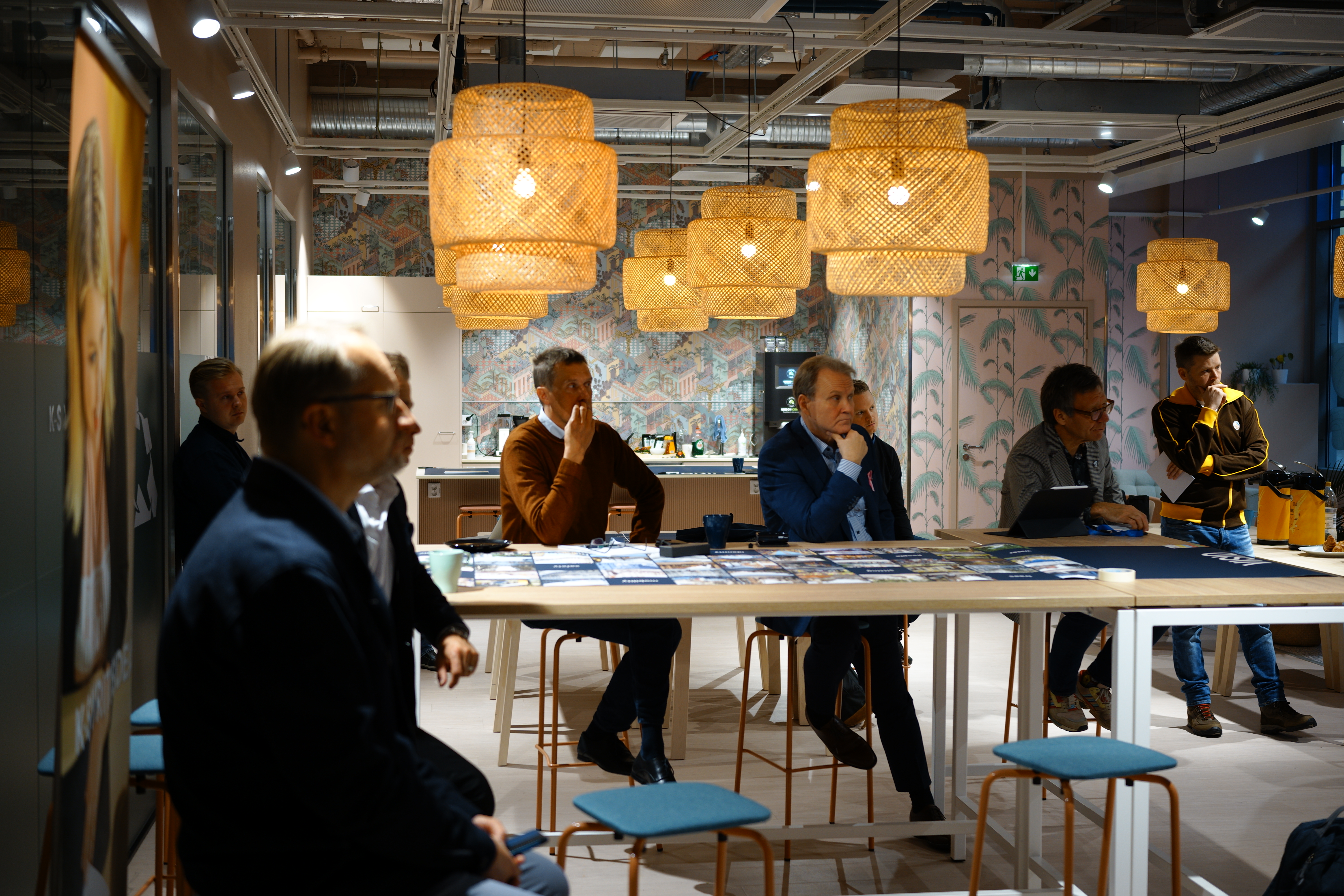
Merchants, city officials, planners and researchers at the charrette, preceded by 12 expert interviews in October 2021.
What the tool did
Participants drew their futures for Kauppakatu on iPads; sketch-to-image AI rendered the drawings as photorealistic street scenarios that the room could compare and build on — the documented origin of the practice, pre-dating the generative-AI boom.
What changed
A renewal programme, manifesto and vision timeline were co-created on the charrette tables; the Kauppakatuyhteisö high-street community was formed; regional press reported the street’s renovation slated to begin around 2024. The research was published as a Tampere University report, and the city later presented at the World Government Summit in Dubai.
We delivered this project under the brand name of UrbanistAI, in our previous collaboration.
Pictures
Reports, media and links
On the record.
What others wrote about this work, and where to read more. Each entry opens the original.