Use case · 2026 · Eight countries
GIZ Connective Cities
Connective Cities brings together municipal practitioners across Germany, North Africa and the Middle East for structured, year-long peer learning. Its current cohort focuses on "Green Corridors" — sustainable mobility and climate-resilient neighbourhoods. Practitioners needed a way to visualise development scenarios together, quickly, without commissioning formal design studies for every idea on the table.
 Algiers
 Cairo
 Erlangen
 Amman
 Beirut
 Rabat
 Hebron
 Tunis
Map data © OpenStreetMap contributors
Sessions with their own page
What we did
CoPlan AI provides Connective Cities with platform access and hands-on facilitation support across up to five workshops over the programme year, opening with an in-person/hybrid kick-off in Cairo. The tool generates illustrative visualisations of urban-development scenarios — clearly framed, as the programme itself insists, as illustrative material rather than formal planning documents, so participants can explore ideas freely before anything gets formalised.
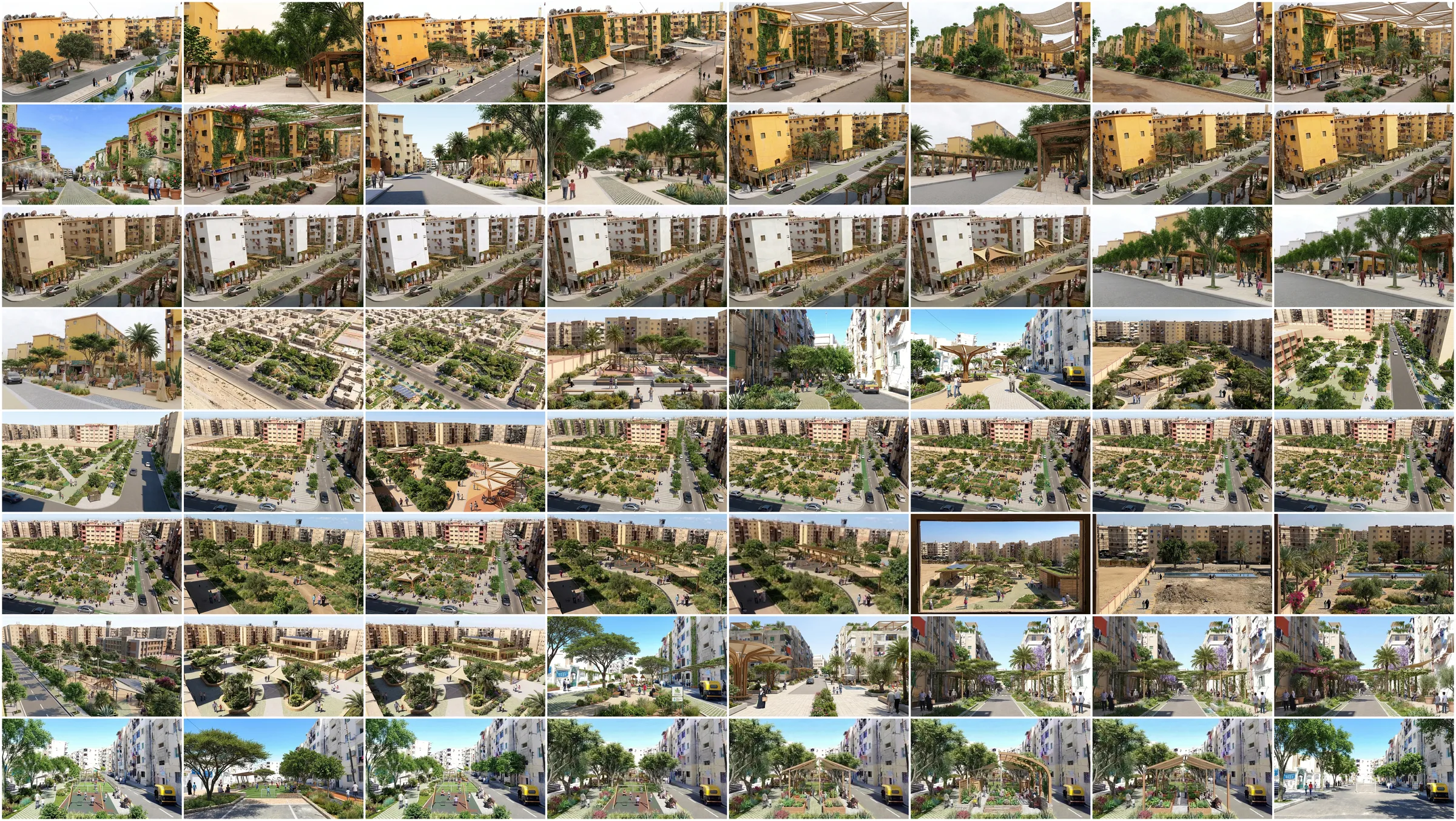
In September 2026 the Regional Working Group Egypt met for two half-days at GIZ in Cairo, with regional and international peers online. Aswan, Port Said and Alexandria each brought a concrete green-corridor challenge. Each case ran from the city's challenge through peer advice to recommendations visualised live on the platform, then a reality check and three priorities. CoPlan AI set up the three city workshops and ran the platform during the sessions. The picture above gathers the 64 images participants starred across the three cities.
Where it stands
The licence and facilitation support run through March 2027, alongside the cohort's own year-long learning journey.
What we're proud of
A shared visual language that lets practitioners from very different cities and institutional contexts compare green-corridor ideas on equal footing.
Reports, media and links
On the record.
What others wrote about this work, and where to read more. Each entry opens the original.